Before Passports: How Borders Really Began
Nobody woke up one morning in the Stone Age, unfolded a map, and declared, with a straight face, “This bit is ours.” Borders arrived far later, and far messier, than most people assume. The story of when and where the first country borders were established is not a tale of neat lines and tidy treaties. It is a slow human obsession with land, water, crops, taxes, gods, walls, and the eternal fear that the neighbours might get ideas.
For most of human history, territory behaved like smoke. It drifted. It expanded after a good harvest and shrank after a bad war. People knew who they answered to, who collected grain, and who might turn up with spears. They did not need borders as lines. They needed influence, control, and memory.
The first places where something resembling borders emerged were not kingdoms or empires, but crowded, argumentative city-states. Southern Mesopotamia, modern-day Iraq, sits at the centre of this story. By around 3000 BCE, cities such as Uruk, Ur, Lagash, and Umma had grown large enough to fight over fields rather than hunting grounds. When irrigation canals matter, so does whose shovel goes where.
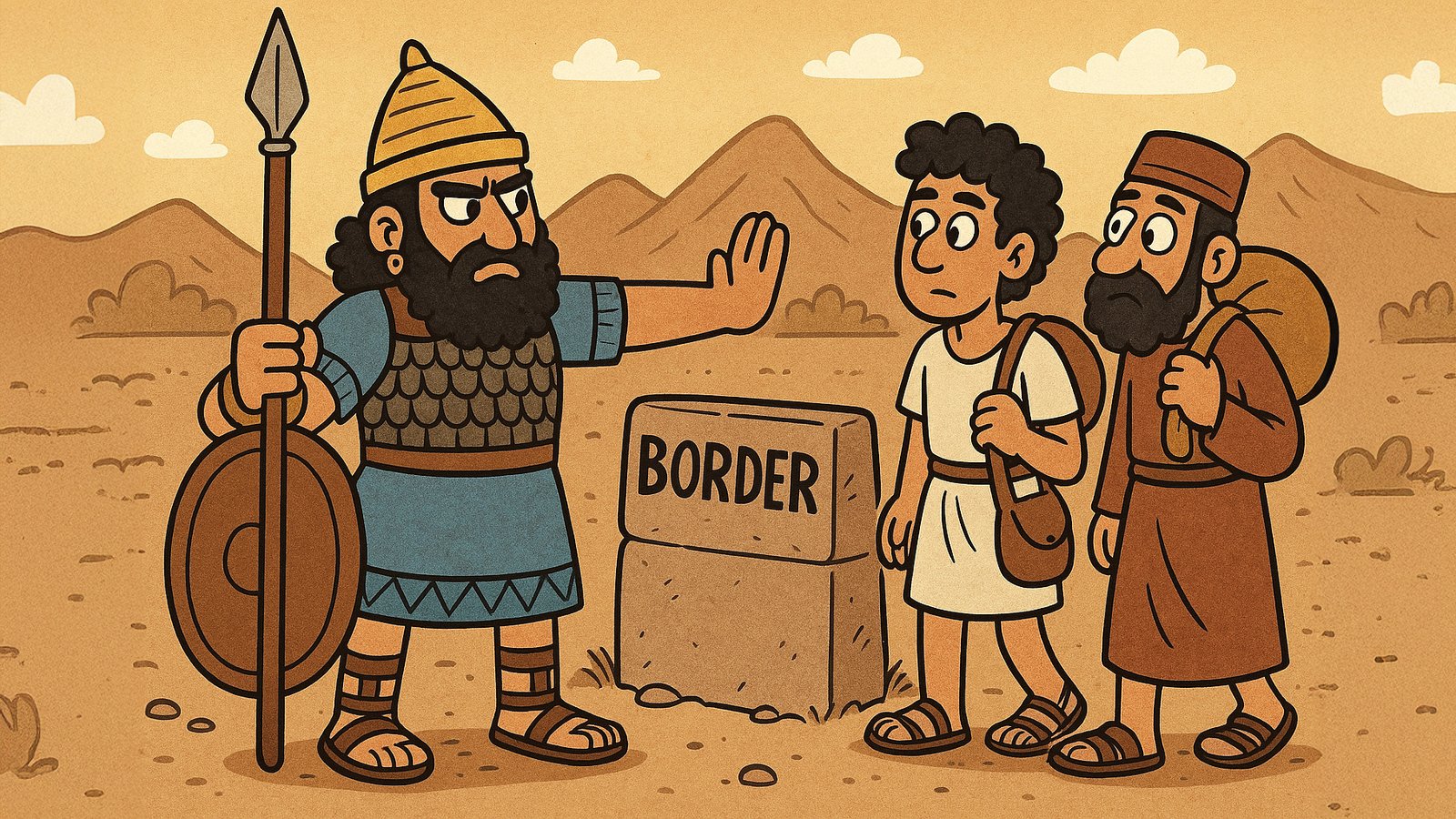
Lagash and Umma provide the earliest recorded border drama we know of. Around 2450 BCE, they clashed repeatedly over fertile land between their cities. This dispute ended with something radical for its time: a formal agreement, carved in stone, marking where one city’s authority ended and the other began. These stones, known as kudurru, did not just mark land. They threatened divine punishment on anyone tempted to nudge them a few feet to the left. Borders backed by gods proved more persuasive than borders backed by guards.
These were not countries in the modern sense. No passports, no flags, no national anthems. Yet the idea mattered. Land could be measured, allocated, defended, and remembered. Control stopped being vague and started being deliberate. This moment marks the earliest ancestor of the border as an institution.
Egypt took a different route. While Mesopotamia argued over canals, Egypt leaned heavily on geography and belief. The Nile Valley formed a natural corridor of control, bounded by deserts that discouraged casual trespass. By around 2700 BCE, Egypt had a clear sense of where order ended and chaos began. Borders were less about fences and more about worldview.
To the Egyptians, land beyond their reach was not simply foreign. It was dangerous, unstable, and spiritually suspect. Fortresses near Nubia reinforced the southern edge of control, but the real border existed in the mind. Egypt was the black land, fertile and ordered. Everything else was red land, hostile and uncertain. This idea of borders as moral thresholds echoes through later empires, from Rome to colonial Europe.
China adds another layer to the story. By the first millennium BCE, Chinese states were already constructing defensive boundaries, walls, and guarded passes. These structures did not form a single border line. Instead, they created managed zones where movement, trade, and tribute could be controlled. The fragments that later merged into the Great Wall reflect centuries of shifting priorities rather than one grand national boundary.
The walls were never meant to seal China off completely. They filtered people. Traders passed, nomads negotiated, armies tested the gates. Borders here worked like valves rather than barriers, allowing power to regulate flow instead of pretending it could stop it.
Rome perfected this approach. The Roman Empire never believed in borders as sharp edges. Its frontiers, known as limites, functioned as wide bands of influence. Roads, forts, customs posts, allied tribes, and markets formed living boundaries. Hadrian’s Wall in Britain symbolised control, but even there, movement continued. Rome cared less about stopping people and more about deciding who paid tax and who did not.
For centuries, this frontier logic dominated much of the world. Empires expanded until control became inefficient, then stabilised through buffers and negotiated edges. Borders shifted with military strength, leadership, and logistics. They remained flexible by design.
Everything changed in early modern Europe. By the seventeenth century, war had grown expensive, bureaucratic, and exhausting. Rulers needed predictability more than glory. The Peace of Westphalia in 1648 did not invent borders, but it transformed them. Sovereign states recognised each other’s territorial limits, at least on paper. Borders became lines that diplomats could draw, defend, and dispute without immediately reaching for swords.
This moment marks the true birth of modern country borders. Territory became legally defined, cartographically mapped, and internationally acknowledged. The idea that land belonged to a state rather than a ruler took hold. From here, borders hardened.
Maps suddenly mattered. Surveyors replaced storytellers. Rivers were straightened on paper even when they curved in reality. Borders that once followed seasonal grazing or shifting waterways froze into lines that refused to move. People who had crossed land freely for generations found themselves labelled foreign overnight.
This rigidity produced unintended consequences. Early borders thrived on flexibility. Modern borders insisted on precision. The result was friction. Disputes that once resolved through negotiation became permanent grievances. In many parts of the world, especially Africa and the Middle East, colonial powers imposed borders that ignored languages, trade routes, and social ties. Those lines still haunt politics today.
There are some delightful oddities along the way. In ancient Mesopotamia, boundary stones often included drawings of scorpions, snakes, and angry gods to discourage tampering. Fear worked better than fences. In medieval Europe, borders sometimes ran through forests without anyone knowing exactly where. Villages relied on memory, rituals, and annual walks to remind themselves which tree marked what.
Another curious detail is how rarely ordinary people knew where borders were. Farmers cared about who collected grain. Merchants cared about tolls. Soldiers cared about orders. The line itself mattered mainly to administrators and rulers. Borders were abstract until they weren’t.
Many myths cling to the subject. The Great Wall did not define China’s national border. Ancient people did understand territory, just not as geometry. Borders did not automatically reduce conflict. Often they intensified it by removing ambiguity.
Historians still debate where to draw the starting point. Some argue Mesopotamian boundary stones marked property, not politics. Others point out that taxation and authority make them political by default. Anthropologists note that many societies functioned perfectly well without fixed borders at all, relying instead on shared use and seasonal rights.
What emerges from all this is a pattern rather than a single moment. Borders evolve when societies grow complex enough to need them. They appear first around resources, then around administration, and finally around identity. The last stage is the most dangerous, because once borders define who belongs, compromise becomes emotional.
If there is a lesson buried in this long history, it is that borders are tools, not truths. Humans invented them to manage land and power. They work best when they remain flexible and fail most spectacularly when treated as sacred lines.
The first borders were not drawn with ink. They were scratched into soil, argued over in temples, guarded by curses, and remembered by stories. Modern borders look cleaner on maps, but they carry the same ancient anxieties underneath. Fear of loss, desire for control, and the hope that a line might keep the world predictable for just a little longer.